Wallow Status Report | 09 June 2011 @ 0734 hours

Please be reminded I can verify and confirm the validity of these statements, but they are coming from people still in Round Valley at this time.

Spanish Trail (Allen) – Wind was calm all night, visibility is very poor at the moment. I don’t think much has changed since last night

South of Dome (Terri) – THE WINDS ARE VERY CALM. WE HAZE OVERHEAD AND IT IS MUCH BRIGHTER. WE ARE FINE BUT READY TO GO IF WE HAVE TO.
– UPDATE (0953) – SMOKE LIFTING A LITTLE. ACTUALLY LOOKS BRIGHT OUTSIDE. THE DARK GLOOM HAS GONE.

Dome (Tom) – Thick smoke, calm (little wind at all), fire night crews are coming in to Day Sleep (between 400-500)

Saw Mill Road (Matt) – Smoke is really thick, can’t see anything more than 1/4 mile away. Today is the first day the smoke actually stings my eyes. No wond yet this morning, and it is pretty cool outside, which I understand helps keep the fire down.

26-Bar (Jordan) – ‎7:30 A.M.- Thurs: Air is absolutely still this morning, and there is so much smoke we can’t see 26- Hill, let alone the ranch. They did some more back burning last night up near Shipwreck along the Big Lake highway, and to the south east near Lesueur Lane. Still no flames visible yet from the main fire. Jarom and Jordan are still here, and we are all fine. We’ll see what today brings.

Amity (Eric) – Wes I am at Amity Ln and Foote Rd , like others the winds were calm here most of the night. Last night was the first night I could see flames on the Mountain South of Lesueur Drive. No Flames on the mountain at the end of Amity.

– UDPATE (1019): Wes, Just talked with the fire crews heading up Amity Lane (South), they are going to start the burn out operation at the end of Amity up the the mountain in the next few minutes.

Greer (Leah) – Greer is 99 percent safe as of right now!! About 5-6 homes on the south east deep end of greer. So sad for the families who have lost everything. We are praying for u and ur families! – Information comes from Channel 3 Helicopter

BLOG UPDATE @ 6/8/2011 – 9:46pm

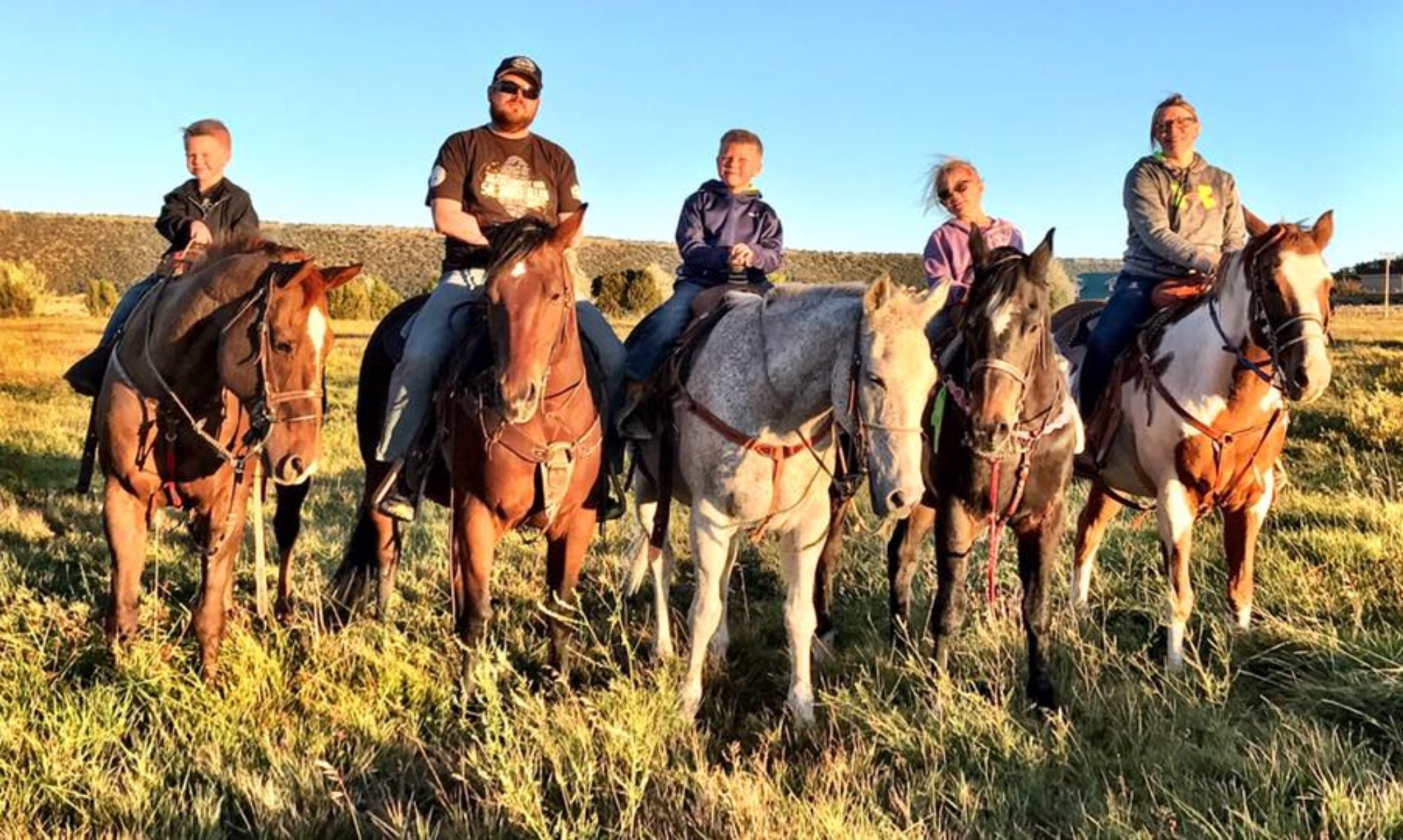
Overwhelming would be an understatement to describe how this experience has been so far. Yesterday at 3:30 my family decided to load the horses and head out. I didn’t realize how hard that was going to be. The back burn smoke made Round Valley very eerie. (GOTTA RUN, MORE TO COME..)

The latest from Sgt. Stein | 8 June @ 2109 hours

I bet today has been a long day for you. Looks as if the fire in close
to town but firefighters are doing their best to save homes.
Winds have died down, only report at 10mph in Showlow and the same for
Eagar airport, although some gust are reported at the base of the Flat
Top and Water Canyon. This does not surprise me as we will see some
stronger winds coming out of the canyons and valleys. Ok on to
tomorrow, winds will be lower then today but it will be a little
warmer. Wind gust up to 20-25mph from the southwest will still provide
some fuel to the fire tomorrow. Dry, dry and more dry… not expecting
any increase in the humidity int he near future. High winds expected
again in Sunday, so if fire crews can get things until control by then
we should not see any major flare ups. So overall looks like the
weather will turn in our favor for the next 48 hours or so. I hope I
have been of some help with the my Weather Forecasting. I have spent
the last 8 years weather forecasting in the Marine Corps and 2 year
doing Fire Forecasting… and I am out in 10months… and I have to
say this has been as very rewarding for me to help neighbors in this
time of need.

Updates | 8 June 2011 @ 1826 hours

Confirmed – Greer is on fire from the Owner of Molly Butlers (He’s hearing of structures burning

– UNCONFIRMED – Greer firefighters evacuated due to danger

Unconfirmed – Fire touching HWY 260 near Golf Course (PLEASE send me info to confirm or deny)

Evacuation Order | 8 June 2011 @ 1703 hours

Full Springerville and Eagar Evacuation | Call 7023083357 to confirm

Evacuation Order | 8 June 2011 @ 1428 hours

Everything West of Main Street in Eagar

Everything West of Mountain Ave. in Springerville

Everything North of HWY 160, South of HWY 60, & the Airport


WALLOW UPDATE: as of 1526 (3:26PM) This is the Evac. Order as understood by 593info at 1528 hours I received a notice of a family being evacuated outside that area. I will update as soon as I have new info.

WALLOW UPDATE: http://wallow.us/ has received two reports of People East of Main St. in Eagar being contacted by police and being told to evacuate. This is an UNCONFIRMED extension of the evac, but this has not been officially communicated to me by any of the agencies.

Mandatory Evacuation Areas

Greer | Alpine | Nutrioso | Escudilla Mountain Areas |Bonita

Dog Patch | H-V | Eagar | Springerville

Pre-Evacuation Areas

Luna, NM | Greens Peak

Hidden Meadows and the surrounding areas.


Sgt. Stein Update | 8 June 2011 @ 1525

So I have been getting information in from everywhere. The spotting
that I spoke about in my last email is actually a backfire started to
help put out the fire. I have seen they have begun to evacuate
another portion of the town, which I think is a great idea! Winds will
begin to die down after 1700 today which should give firefighter a
break. Tomorrow we will not see near as high winds as we have seen the
last few days.

According to officials a full evacuation of the Springerville-Eagar
areas is now in effect. From What I am seeing on satellite imagery is
looks as if the fire is coming down between Water Canyon rd and the
road to South Fork. The NWS has issues a new Fire Warning from
1500-200 this evening, although I don’t believe the winds will remain
high thought out that whole period. Although has it comes down the
mountains it could be speed up by down slope winds caused by the
valley being warmer then the mountain areas
A lot of people are asking about Greer… I don’t think they have to
worry to much although anything could happen but it looks as if the
fire has moved with the winds to northeast of Greer.