
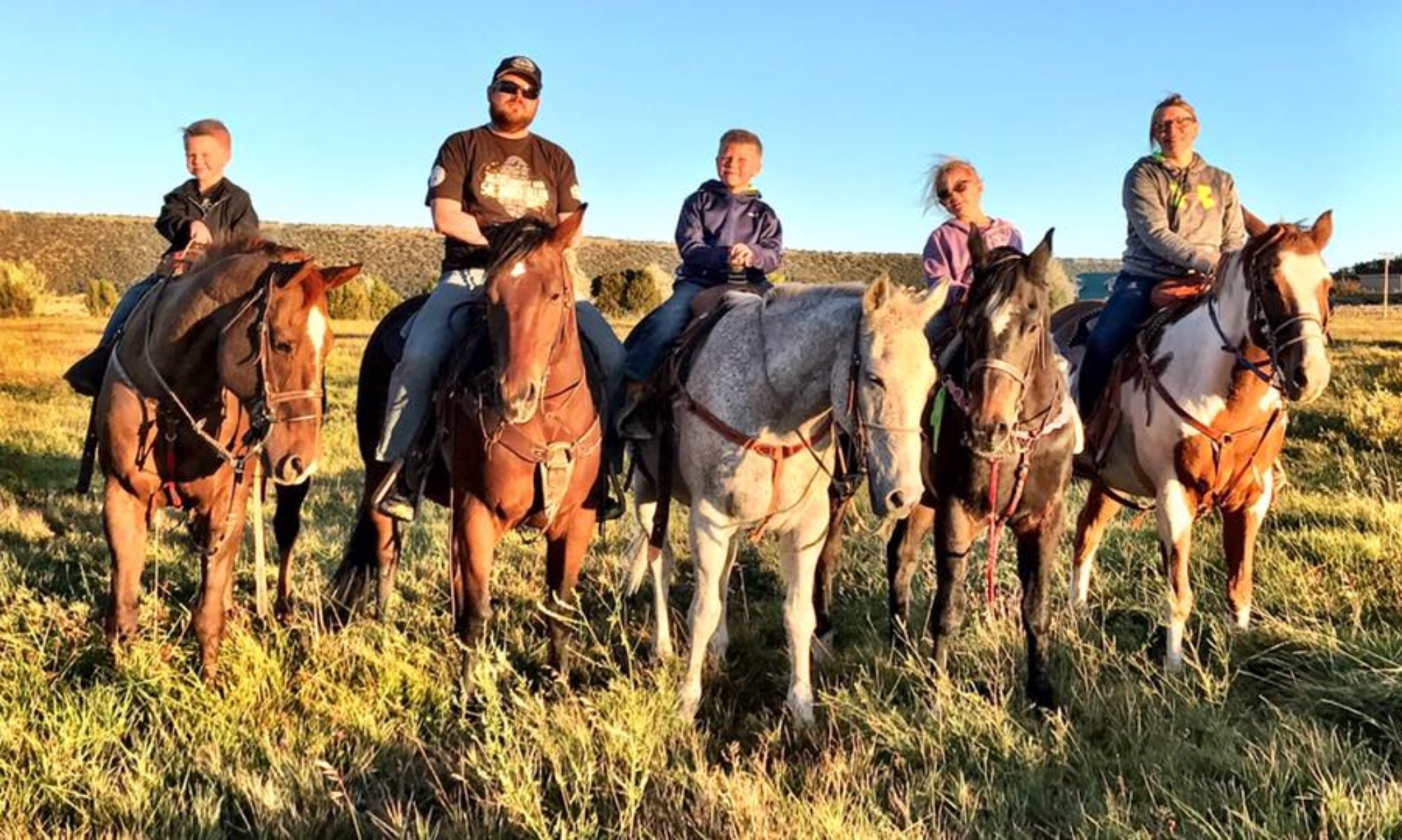
I would like to introduce everyone to “Wallow”. She was born today out at our Ranch in Springerville. She is in an irrigated hay field, and we can only hope the best for her.

Home, Work, & Play
I would like to introduce everyone to “Wallow”. She was born today out at our Ranch in Springerville. She is in an irrigated hay field, and we can only hope the best for her.
Full Springerville and Eagar Evacuation | Call 7023083357 to confirm

So I have been getting information in from everywhere. The spotting
that I spoke about in my last email is actually a backfire started to
help put out the fire. I have seen they have begun to evacuate
another portion of the town, which I think is a great idea! Winds will
begin to die down after 1700 today which should give firefighter a
break. Tomorrow we will not see near as high winds as we have seen the
last few days.
According to officials a full evacuation of the Springerville-Eagar
areas is now in effect. From What I am seeing on satellite imagery is
looks as if the fire is coming down between Water Canyon rd and the
road to South Fork. The NWS has issues a new Fire Warning from
1500-200 this evening, although I don’t believe the winds will remain
high thought out that whole period. Although has it comes down the
mountains it could be speed up by down slope winds caused by the
valley being warmer then the mountain areas
A lot of people are asking about Greer… I don’t think they have to
worry to much although anything could happen but it looks as if the
fire has moved with the winds to northeast of Greer.
This comes from a personal friend of mine working on a Helicopter team on the fire. They are camped by Luna Lake, and from the picture on the left you can see that the fire came up the other side of the road.


MattnLiz Finch – More bad news, fire has now made its way to Lesuer Dr./Amity Lane again. Not sure if it is a spot fire or the main wall, likely spotting according to the tanker I just talked to. Still, NO HOUSES LOST!!!! They have an engine at every house …directly in line, specifically for that house. They are doing great! They are now spreading fire retardent using the engines, coating everything in sight. They wanted to get a 400 foot wide boundary, but due to winds they said it is nor more than 50 ft wide in this area, fire is crowning and destroying everything, but they are saving the houses. They are very very concerned with the winds. Said when the big wall hits the retardent may not be very affective because of the winds. Fire is spotting now between razors and Haws Park, not sure where, the guy isn’t local and we had to use a map for him to show me. This wind is killing us. More bad news, they let my Uncle Brad come home from Circle K to shower. He said he has been getting all the info he can from the firefighters when they come in the store. Said he just talked to some tasked with mopping up the areas the fire has already hit up on top. They told him up by the big lake area, like Robbie was saying, is just sticks, and he said there are dead elk everywhere, some deer, but mostly elk, and he said they were everywhere. The firefighters, who were local, I believe one had the last name of Logan, said the mountain will never be recognizable in our lives, noone alive now who has never seen it will ever be able to look on its beauty in their lives. I keep hoping maybe they were in the worst part of the whole mountain and the parts they didn’t see are ok. I can only pray. More good news though, as of early this morning, like at 4 AM, the udall cabin is ok above Coon Canyon, said there was atleast 2 engines dedicated to it, not leaving. So far so good, they’re giving it hell anyways, doing the best they can.
Here is what I got…. For what I am seeing the homes between School
Bus Rd and 26 Bar Ranch could be in jeopardy right now. The winds are
only going to blow harder today, eventually dying out this evening.
Also need to keep a close watch on the spot fire in the saddle of Flat
Top.
Also I see the smoke has really come in over the valley… Not the
best sign as the smoke will go where the wind is going… So looking
at the smoke will give anyone a really good idea of what the general
direction teh wind and thus the fire is moving. Not much more I report
from here. I have heard from my fatherinlaw who lives of water cayon
at teh base of Flat Top that he can see a bright orange glow coming
from the east side of Flat Top. If you have any question or anyelse
does feel free to reach me at Gary.a.stein@gmail.com

Good morning! I just got into work and I have been taking a look at
the weather and this is what I see. The pressure gradient that has
been causing the high winds over eastern Arizona has begun to break
down, as the low that I explain yesterday has moved in the Great Lakes
region. This is great as today will be that last day with the high
winds that have been fueling the fire. As of 0700 the winds have began
to pick back up at the Show Low airport (the closet report weather
station to Eagar) and they are now out of the SW at about 19mph with
gust to 25mph. This is expected to increase during the day today. We
will see winds as high as 30-35mph throughout the day today with
higher speeds in the canyons and valleys. We should not see winds at
this speed again until Saturday.
I have yet not got a hold of a updated map of the fire this morning.
When I receive one I will update distances and forecast what I think
the fire will do next and send you and other products I work up. I
hope all is well with you and residents of Round Valley.